Missing signs Hikers get lost in the Godesberg city forest
Bad Godesberg · Time and time again, hikers get lost in Bad Godesberg's municipal forest because there are no sensible signposts. The Rhineland Nature Park has now announced improvements.

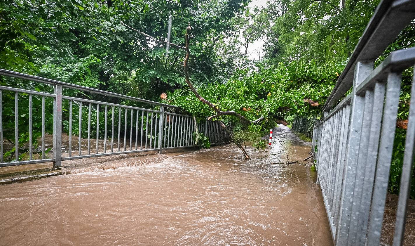
Just the other day, in the evening twilight, it happened again. Gerhard Wolf had to help two elderly people out of the forest, so to speak. "They had lost their bearings," says the man from Schweinheim. He has lived near the Godesberg city forest, which is part of the Kottenforst, for decades. Moreover, he knows all the paths because of his two dogs. "But many walkers don't have this advantage, so better signposting is urgently needed," Wolf says.
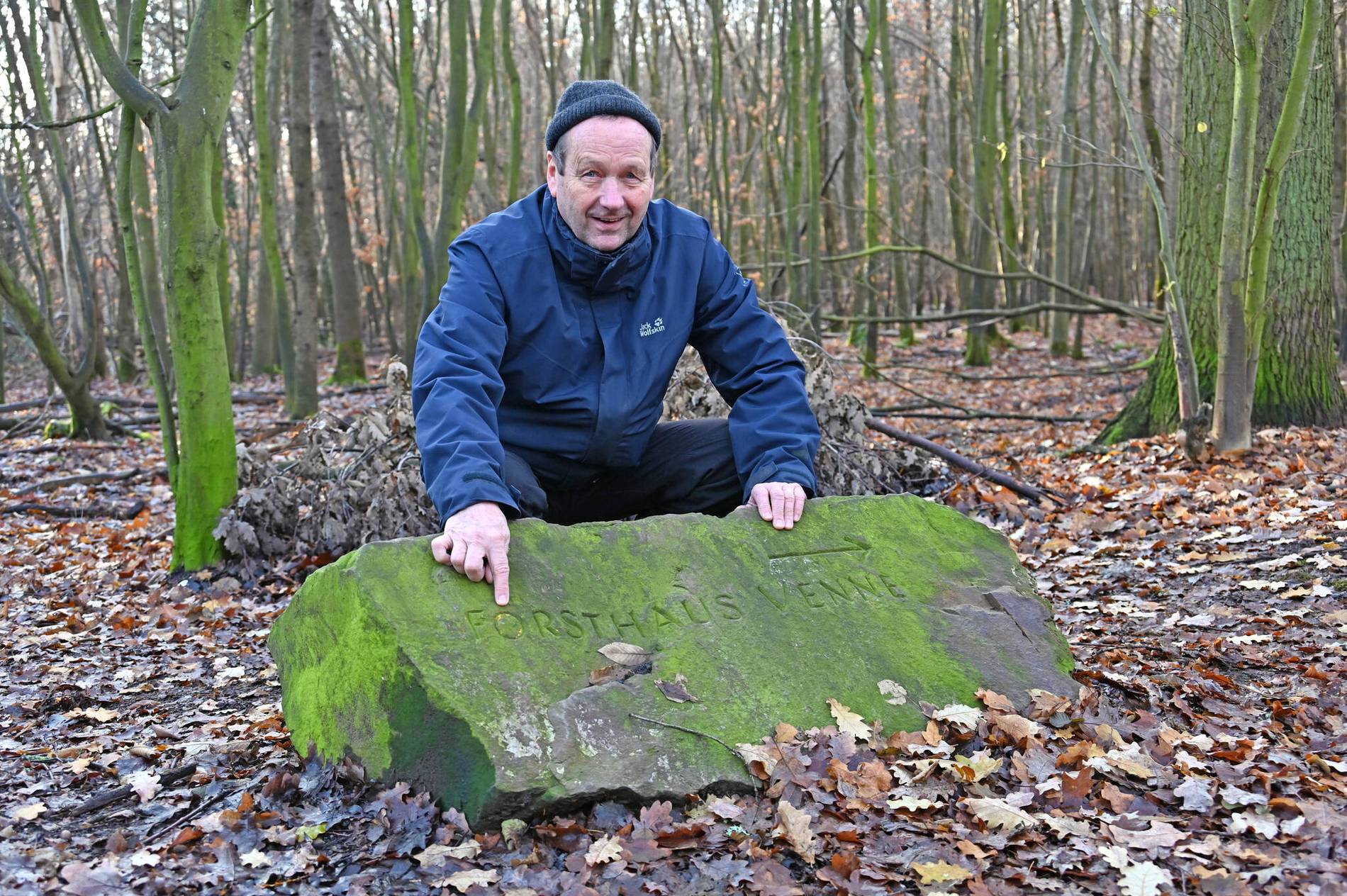
Admittedly, there are entry maps at important points. "If you are topographically sure, they will also help you," says the Schweinheimer smugly. The erratic blocks that point to the Venne forester's lodge, for example, are nice to look at, but Wolf says they only help those who know the area. "For example, they don't find out how far away some place is," says Wolf, who would like to see just that provided for cyclists and walkers. By the way, it takes a good 20 minutes to get from the Venner Straße car park to the forester's lodge.
He had been turned down by the municipal forestry office, which had referred him to the Eifelverein. "My contact person there, however, pointed out that he was only responsible for the long-distance hiking trails," says the passionate city forest walker, irritated. Especially since he believes that people are more likely to stay on the trails if they know exactly where they are: "Otherwise, people sometimes look for a branch-off."
Here is what the city of Bonn says: Currently, they only maintain a few engraved boulders, says Markus Schmitz from the press office. In addition, they are responsible for the forest entrance, protected area, rescue and special signs such as the biodiversity trail or information boards. "At the forest entrances, there is usually a forest overview map showing the entire Kottenforst and the Ennert as well as the Siebengebirge," says Schmitz.
Normally, the Eifelverein and the Rhineland Nature Park are responsible for signposting. This is done in close consultation with the Lower Nature Conservation Authority and the respective forest owners, as, for example, signs in protected areas may require approval. Bonn's Kottenforst is partly private, state and communal forest.
This is what the Bonn Eifelverein says: Ulrich Schmitz has been the association's path sponsor for one and a half years and looks after about 50 kilometres of path in the region. "We are only responsible for the main hiking trails," says the man from Beuel. Starting from Bonn's main railway station, these are mainly two: the "Krönungsweg" (path 10 in old maps) and the "Osteifelweg" (path 1). "Both follow Poppelsdorfer Allee and later turn left behind the Botanical Garden up to the Marienhospital towards Venusberg. The two paths separate behind the university hospital grounds at a refuge. The Coronation Trail has Lüftelberg as its stage destination, past the Kottenforst railway station, while the Osteifelweg leads to the Schönewaldhaus forester's lodge near Villip," explains the expert.
There are also circular and pilgrimage trails. What they all have in common is that if they are long straight stretches, there is not a new sign at every tree, but only occasional confirmation signs. Schmitz is open to new signposting, but emphasises: "It would have to be continuous.
This is what the Rhineland Nature Park says: The special-purpose association, of which the city of Bonn is a member, looks after 1045 square kilometres of land just outside Cologne and Bonn. The association covers seven large landscape areas, including Bonn's Kottenforst with 40 square kilometres. When asked, Deputy Managing Director Frank Scheer has good news: "We are planning to introduce a trail guidance system in Bonn's Kottenforst in 2021/22." This area has not yet been developed - in contrast to the Rheinbach Forest, the Ville and Wachtberg.
"The Drachenfelser Ländchen was one of our first expansion sites; a very active hiking association is involved here," says Scheer. Because there is a lot of vandalism, they have to be called out when signs are destroyed. "If something is broken, it has to be replaced promptly." In the coming year, there will be coordination talks between all user groups in the forest. "But when you start planning trails anew, it can also come to adjusting trail routes, because the question of whether there are too many trails is one that the state environment ministry always asks us," Scheer elaborates.
But why does the Rhineland National Park take care of signposting at all, when it is actually the Eifel associations that take care of the markings? A few years ago, the Ministry of the Environment also decided to do this, because in its perception, the paths were no longer well maintained and the Eifel associations were outdated.
Even though Wolf is happy to help those seeking advice, he would be pleased if the announced step were to be taken. He hopes that the Godesberg municipal forest will really be included in the plans.


